Creating engaging geography lessons can feel like a challenge, especially if you’re teaching visual learners. These children thrive when learning involves seeing, observing, and creating. Traditional textbook-based teaching methods might not capture their full attention, but incorporating “visual geography activities” into your homeschool plan can make geography both exciting and effective.
Below, we’ll explore practical strategies, map-based exercises, and creative activities that are perfect for visual learners and help bring the world into your classroom.
Understanding The Needs Of Visual Learners In Geography
Visual learners interpret information best when it is presented in a visual way. Maps, charts, videos, photographs, and diagrams all help them grasp complex ideas. When teaching geography, focusing on visuals will improve their ability to understand spatial relationships, cultural landmarks, and geographic data.
Here are some signs your child may be a visual learner in geography classes:
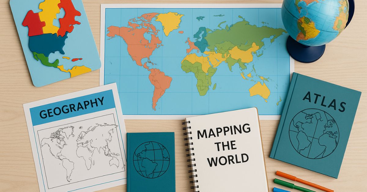
- They enjoy maps, atlas books, and globes.
- They absorb information better when it’s paired with images or visual aids.
- They find it easier to remember places when they can “see” them in their mind.
- They enjoy drawing or mapping out ideas instead of writing lengthy descriptions.
If this sounds like your child, tailoring your lessons toward visual learning will likely enhance their understanding and retention of material. Fortunately, geography as a subject naturally lends itself to visual teaching methods.
Why Maps Are Powerful Tools for Visual Learners
Maps serve as both practical tools and excellent teaching aids for visual learners. From simple paper maps to interactive digital maps, the sheer variety of formats offers limitless possibilities. Studying maps allows kids to visualize where people, countries, and physical features exist in relation to each other.
Using maps for teaching provides:
- Contextual learning – Students see where historical events occurred, how populations are distributed, and how geography impacts culture.
- Practice with spatial thinking – Kids can measure distances, analyze elevations, and grasp the relationships between regions.
- Hands-on engagement – Coloring, labeling, or annotating maps taps into creative and active learning styles.
Now, let’s look at actionable ideas for integrating visual geography activities into your homeschool program.

Hands-On Map Activities For Homeschooling
Maps are more than tools; they are gateways to imagination and discovery. These hands-on activities can help your visual learner explore the world in creative and memorable ways.
- Create and Customize Personal Maps
Instead of simply studying pre-made maps, encourage students to craft their own. This helps them actively engage with geographical data and think critically about the relationships between different regions.
- Blank World Maps – Start with an outline of the continents and ask your child to color-code regions by climate, population density, or language groups.
- Local Area Maps – Have them draw a map of your neighborhood or city, marking significant landmarks like schools, parks, and stores.
- Fantasy Maps – Combine geography with creativity by letting your student design a fictional map. They can include rivers, mountains, cities, and trade routes.
- Interactive Map Tracing
Using tracing paper allows children to practice geography in a simple, hands-on way.
- Overlay tracing paper on printed maps and ask them to trace the outlines of continents, countries, and major oceans.
- For a challenge, they can add rivers, mountains, and capitals.
- Tracing helps students understand the size, shape, and placement of places without overwhelming them with details.
- DIY Geography Puzzles
Turn geography into a fun puzzle game. Take a printed map and cut it into pieces to create a puzzle.
- For beginners, try something simple like dividing a state or country into four or five pieces.
- For advanced learners, use a global map and increase the number of puzzle pieces.
- This activity is excellent for developing spatial reasoning and making geography feel like a game rather than a chore.
- Map Pinning and Labeling
Set up a large world map on a wall and encourage your child to pin locations based on specific categories, such as:
- Birthplaces of famous authors, scientists, and politicians.
- Countries mentioned in current events or books.
- Wildlife habitats or points of natural interest (e.g., volcanoes, coral reefs).
This activity reinforces their knowledge of where places are located and the broader context that makes those places significant.
Incorporating Technology Into Visual Geography Activities
Visual learners often respond positively to technology, and there are incredible tools available to bring geography to life in your homeschool routine.
Virtual Explorations and Digital Maps
Interactive platforms like Google Earth or online atlas applications allow children to explore regions of the world virtually.
- Google Earth Tours – Take guided tours of landmarks, track migrations, or measure distances in real time.
- Interactive Activities – Websites like National Geographic Kids offer games, challenges, and quizzes specifically tailored for young learners.
- Satellite Imagery – Modern mapping software often includes real-world satellite images, giving kids a bird’s-eye view of urban developments, deserts, forests, and more.
Exploration through technology bridges the gap between abstract classroom concepts and tangible, real-world knowledge.
Online Geography Games and Apps
Many educational apps gamify geography lessons, making learning enjoyable. A few examples include:
- GeoGuessr – Players guess the location of a random place based on images from Google Street View.
- Stack The States – Perfect for U.S. geography, this app teaches kids about state shapes, capitals, and landmarks.
- World Geography Games – A web-based platform with quizzes focused on continents, bodies of water, and flags.
Introducing these tools adds variety to your lesson plan while tapping into the strengths of visual learners.
Exploring Geography Through Creative Projects
Beyond maps and technology, creative endeavors give visual learners opportunities to thrive. By blending art with geography, you can make lessons feel personal and lasting.
Cultural Collages
Choose a country or culture to study. Gather photos, flags, and images showcasing its traditions, food, landscapes, and architecture. Using these, your child can create a collage or scrapbook page.
- Be sure to include maps and a small timeline to tie the visuals back to geography.
- This project helps visual learners associate places with real-world contexts, fostering their curiosity about cultural diversity.
Building Physical Models
If your child is learning about topographical features, building 3D models can illustrate ideas effectively.
- Use clay or playdough to create mountains, rivers, and valleys.
- Label the model and compare it to a map.
- This hands-on approach enhances their grasp of concepts like elevation, tectonic plates, or river systems.
Making Geography Come Alive With Narratives
Sometimes, the best way to teach geography is through stories. For visual learners, narratives accompanied by illustrations provide a multi-sensory experience.
Illustrated History
Pair history lessons with geography by focusing on important journeys or explorations. Visual learners can create illustrated timelines or maps that track events like the voyages of Christopher Columbus or the Silk Road trade route. Diaries or letters from historical travelers can supplement these lessons and place historical events in a meaningful context.
Picture-Driven Travel Logs
Imagine every lesson as a virtual trip. Choose a different country or city each month, and spend time exploring facts, foods, traditions, and visual landmarks. Keep track of “travels” using a scrapbook or large poster with images, maps, and notes about the places you’ve “visited.”
This approach expands your child’s global perspective while giving them something tangible to look back on later.
Wrapping Geography Into Everyday Learning
Geography doesn’t have to stay confined to 45-minute lessons. Encourage your child to notice geography in their daily life.
- When cooking, show them where ingredients, like rice or spices, originate on a map.
- During a local hike, discuss how terrain features like hills, valleys, or rivers relate to maps.
- While watching documentaries or movies, pause to locate featured places or landmarks on a globe.
By weaving geography naturally into everyday moments, you’ll help visual learners see it as an integral and exciting part of life.
Injecting creativity and visual tools into geography lessons transforms homeschooling into an adventure. For visual learners, maps, illustrations, and engaging activities bring the world into focus—one colorful, interactive lesson at a time.


